Ulrich Long · 10 September 2026
Charting Coastal Currents: How Wind Data Shapes Sailboat Route Planning in Shifting Seas
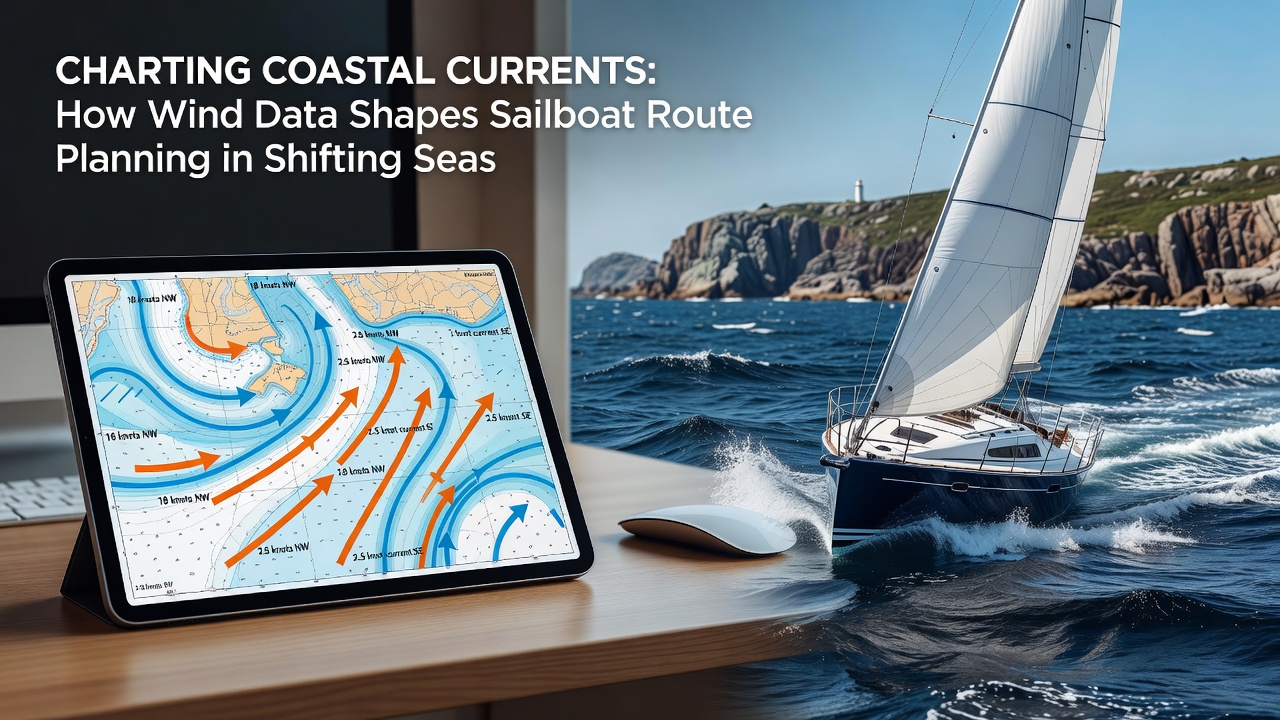
Coastal navigation relies on precise integration of wind measurements with ocean current models, and sailors examine these datasets to adjust courses around shifting nearshore flows. Wind speed and direction directly influence surface water movement, creating localized accelerations or deflections that alter expected drift rates along irregular shorelines. Researchers at oceanographic institutions compile high-resolution wind fields from satellite scatterometers and coastal radar stations, then feed those inputs into hydrodynamic simulations that forecast how surface layers will respond over six to twelve hour intervals.
Data from the National Oceanic and Atmospheric Administration supplies continuous buoy observations along the U.S. Atlantic and Pacific margins, allowing planners to compare modeled wind vectors against actual readings recorded every ten minutes. Similar networks operated by the Australian Bureau of Meteorology deliver equivalent coverage for the Great Barrier Reef approaches and Bass Strait passages. When these sources align, route algorithms recalculate estimated time of arrival by factoring in both leeway and the additional set induced when sustained winds run parallel to the coast for several hours.
Wind-Current Interactions in Nearshore Zones
Persistent onshore winds pile water against the shoreline and generate compensatory offshore flows at depth, whereas alongshore winds drive parallel currents that can reach one to two knots in narrow straits. These patterns intensify where bathymetry funnels water through headlands or over shallow banks, and planners overlay wind forecasts onto current atlases to identify zones where the two vectors reinforce or cancel each other. In September 2026, upgraded regional models released by European meteorological centers incorporated finer-scale wind gust data, revealing previously underestimated cross-shelf transport along the Celtic Sea approaches during autumn gales.
Observers tracking vessel tracks through the Strait of Juan de Fuca have documented how a steady 20-knot northerly wind can reverse the normal ebb current by as much as 0.8 knots within three hours of onset. Route planning software now ingests these observed anomalies to generate alternative waypoints that keep vessels in favorable current bands while they maintain optimal wind angles for sail trim.
Planning Tools and Data Integration
Modern passage planning platforms combine gridded wind forecasts with real-time current predictions derived from HF radar networks and glider deployments. Users select departure windows by scanning multi-day wind roses that highlight periods of steady direction and minimal gust spread, then they adjust departure times to coincide with tidal gates that either oppose or assist the wind-driven component. One study released by the Canadian Institute of Ocean Sciences demonstrated that vessels departing the Gulf of St. Lawrence during stable northwesterly wind episodes reduced overall fuel-equivalent effort by 14 percent compared with departures taken during variable wind regimes.
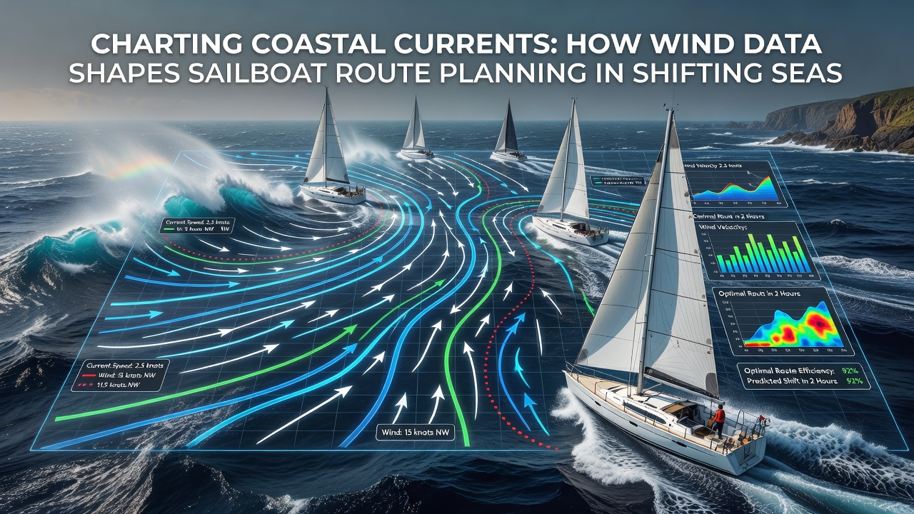
Planners also consult ensemble forecasts that display probability bands for wind direction shifts, allowing contingency routes to be preloaded before departure. When ensembles show a 60 percent likelihood of a 30-degree wind backing within 18 hours, software highlights secondary corridors that remain viable if the primary track encounters accelerated currents near a cape. These layered visualizations appear on both dedicated chartplotters and tablet applications that sync with satellite communications for mid-passage updates.
Case Examples from Recent Seasons
During the 2025 northern summer, a fleet transiting the English Channel used updated wind-current coupling models to skirt the stronger east-going stream that develops when winds exceed 15 knots from the southwest. Vessels that followed the revised tracks reported average speed gains of 0.6 knots over those adhering to traditional tidal-only calculations. Similar adjustments proved effective along the Chilean fjord coast, where katabatic wind pulses interact with narrow-channel currents to create short-lived acceleration zones that skilled navigators exploit for daily legs.
Academic teams continue to refine these models by assimilating vessel-reported wind and set observations into operational forecasts. The resulting higher-resolution grids now resolve wind-driven current features at scales below five kilometers, which proves especially valuable inside archipelagos where islands generate complex wake patterns that standard global models overlook.
Conclusion
Wind data integration has become a core element of coastal route planning because it supplies the missing dynamic layer between static charts and tidal predictions. Continued expansion of coastal radar arrays and satellite capabilities will further tighten the coupling between atmospheric forcing and ocean response, giving planners tighter confidence intervals for arrival times and safety margins. Sailors who routinely incorporate these combined datasets into their decision process operate within the measurable constraints of shifting coastal systems rather than relying on generalized averages.